Tropical disturbance in the Gulf could become a storm by Friday. Here’s what forecasters say
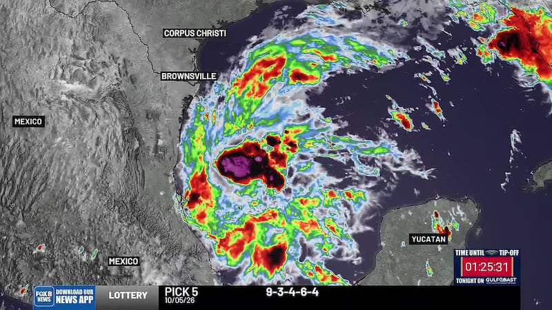
BATON ROUGE, La. (WAFB/Gray News) - A tropical disturbance in the Gulf is getting better organized as forecasters say they are watching for possible tropical storm or hurricane development.
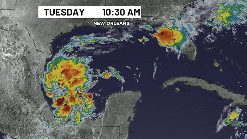
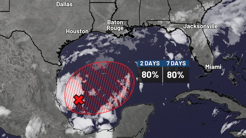
Morning satellite imagery Tuesday showed a noticeable increase in thunderstorm activity around the system compared with Monday as it continues organizing over the southwestern Gulf.
The National Hurricane Center said early Tuesday that Invest 92L has an 80% chance of developing within the next 48 hours and an 80% chance of development over the next seven days.
If the system strengthens into a tropical storm, it would be named Isaias.
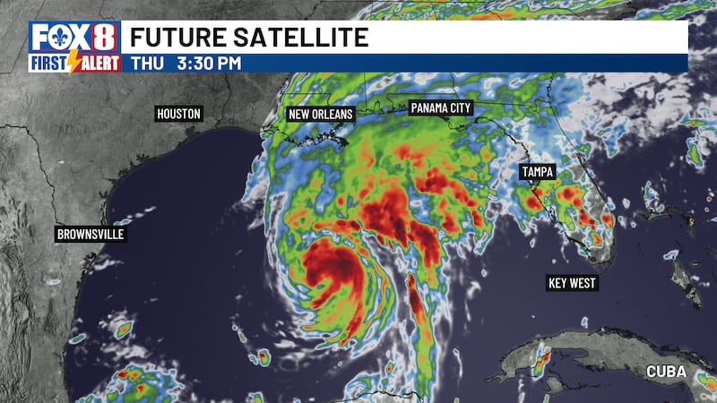
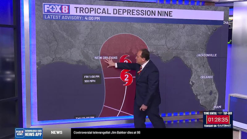
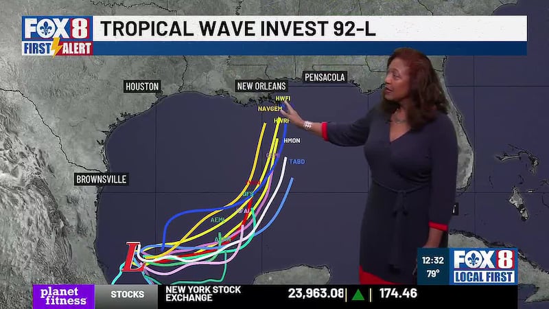
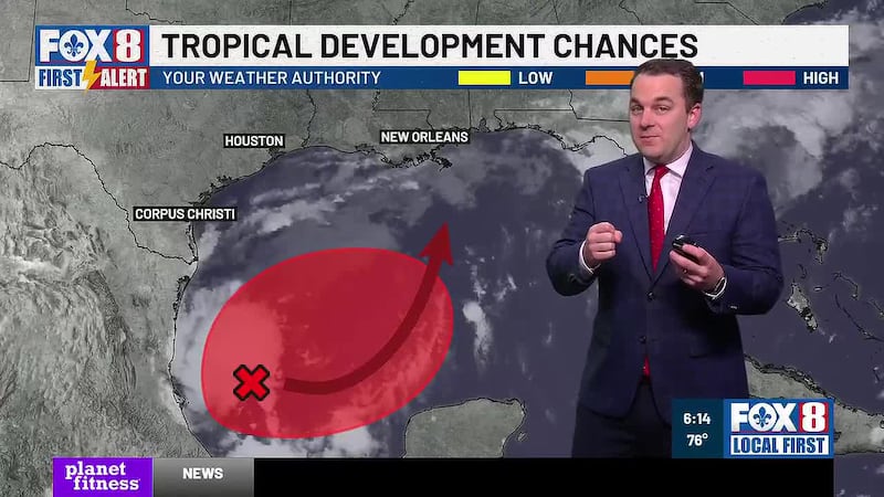
The system is expected to drift east-northeast through the middle of the week before turning north toward the northern Gulf Coast.
Some early tracks show the storm possibly heading toward Louisiana, Mississippi, Alabama and Florida.
The National Hurricane Center said it currently remains too early to determine specific impacts, but people along the northern Gulf Coast should closely monitor the system.
Forecasters in Louisiana said impacts could begin as early as Friday night and continue into Saturday, depending on how quickly the system develops and where it ultimately tracks.
But what those impacts could include remains uncertain.
The risks of rain, wind, storm surge and coastal flooding will become clearer once the system develops and forecasters have a better understanding of its track and strength.
Copyright 2026 WAFB via Gray Local Media, Inc. All rights reserved.