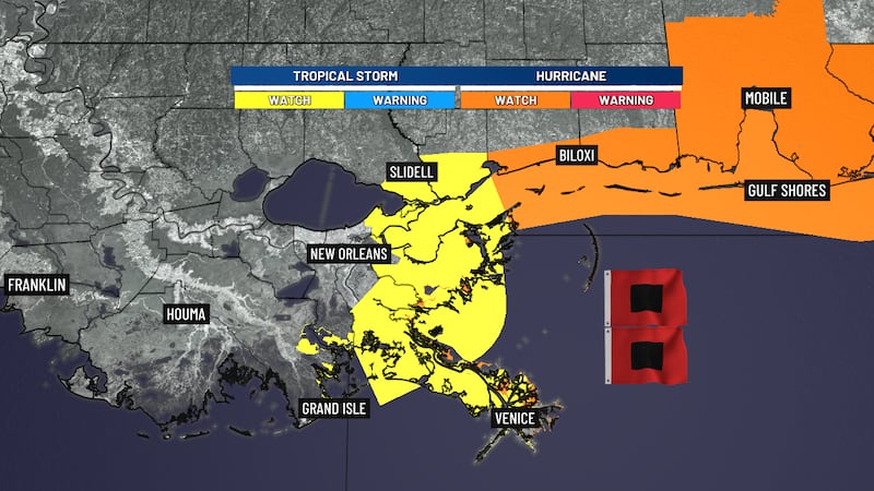
Northern Gulf Coast under watches for Isaias
Storm impacts likely Friday into Saturday
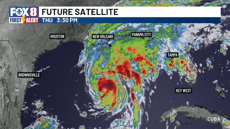
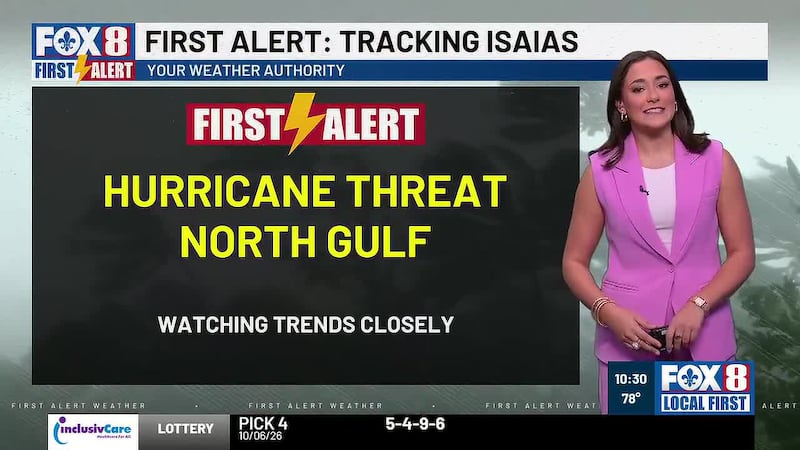
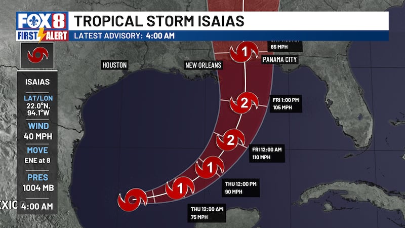
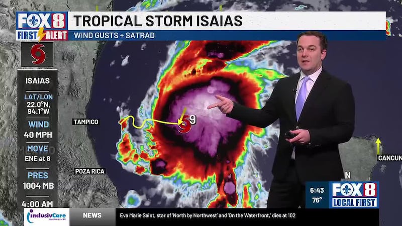
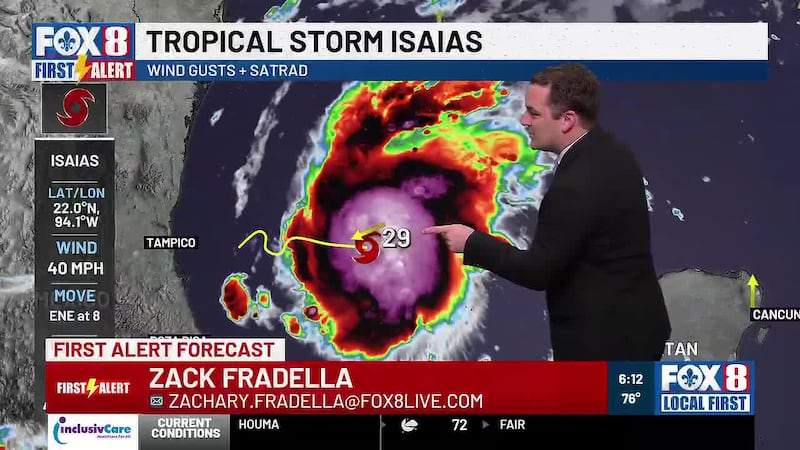
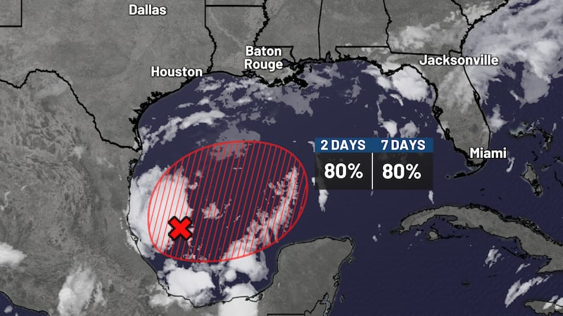
NEW ORLEANS (WVUE) - Isaias is on track to strengthen and could be a hurricane by the time it nears the north-central Gulf coast later this week.
There is uncertainty in the exact track and intensity, but the potential impacts include gusty winds, coastal flooding, heavy rainfall and dangerous seas along our coastal waters.
Model agreement should improve with hurricane hunter data, which should sharpen confidence in that track going forward.
As that happens, look for bands of clouds and showers lingering offshore to push inland Friday, setting up a sharp west-to-east gradient as the center of the system tracks through.
That means it’s possible the western half of our area ends up with much nicer weather while conditions deteriorate quickly heading east through Friday and into Saturday.
Marine conditions will also go downhill through the week, with winds over the open Gulf expected to climb to tropical storm or even hurricane force and shift from easterly to westerly Friday into Saturday before finally easing up.
Once the system weakens and pushes well inland, drier air filters in from the northwest and sets the stage for a much calmer end to the stretch.
A ridge builds in aloft over the northern Gulf by early to mid next week, locking in a dry pattern and sending temperatures climbing well above average, with the western tier of the area possibly reaching the lower 90s.
So after what could be an active and uncertain few days, there’s a warm and quiet finish on the way.
This afternoon is shaping up nicely across southeast Louisiana and the Mississippi coast, with partly to mostly sunny skies locked in and no widespread rain in the immediate forecast.
Any showers stay mainly along and offshore of the coast, with Small Craft Advisories already up for most of the coastal waters this afternoon and they stick around through at least late Thursday night.
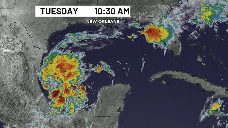
Out on the Gulf, winds are turning northeasterly as high pressure builds over the Plains, and a southwest flow aloft keeps scattered showers popping over the open water even while we stay dry onshore.
See a spelling or grammar error in our story? Click Here to report it. Please include the headline.
Subscribe to the Fox 8 YouTube channel.
Copyright 2026 WVUE. All rights reserved.