Tropical storm and hurricane watches issued
Landfall would be late Friday into Saturday
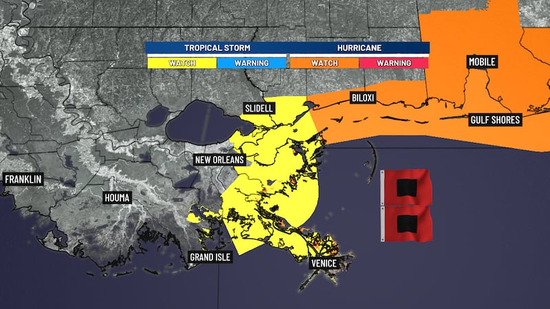
NEW ORLEANS (WVUE) - A Tropical Storm Watch has been issued along the SE LA coast from near Grand Isle to Bay St. Louis, MS. A Hurricane Watch is now up from Bay St. Louis eastward to the Florida Panhandle.
A Storm Surge Watch has been issued for the coast as well. Expected tidal rises up to 4 feet are possible as Isaias makes its closest approach Friday night.
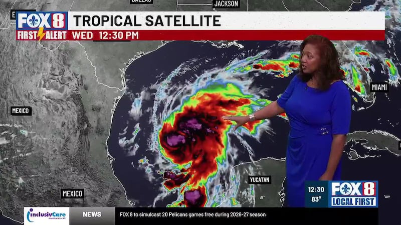
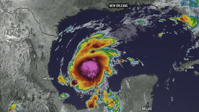
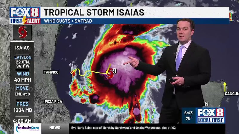
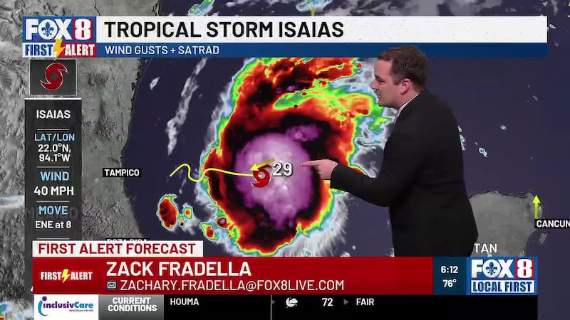
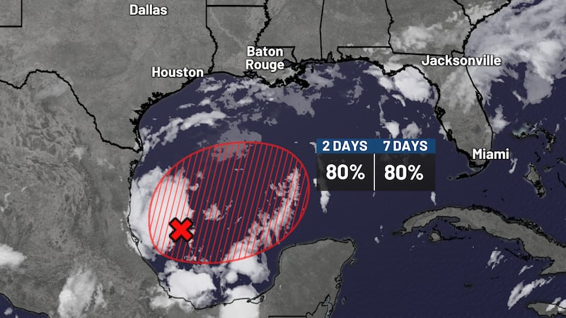
Tropical Storm Isaias formed this morning and is expected to quickly become a hurricane.
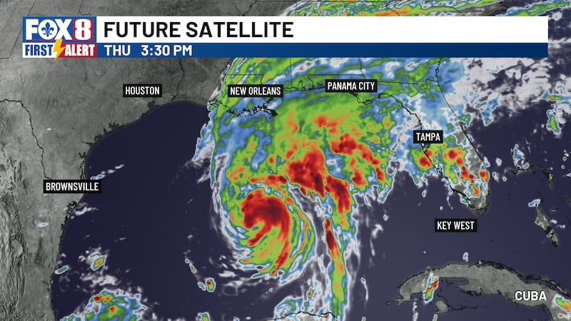
The intensity of Isaias will likely ramp up very quickly over the next 24 hours, with the storm entering a rapid intensification phase.
Peak intensity will come south of Louisiana on Thursday as a strong Category 2 with 110 mph winds or maybe even a Category 3 Major Hurricane.
The latest forecast track has shifted a little to the east overnight. This brings the landfall point into South Alabama late Friday into Saturday as a weakening Category 2.
On this path, our impacts locally would be very limited.
Coastal locations on our eastern shores and the Mississippi Gulf Coast would be most at risk for direct wind/rain impacts from the circulation.
Farther inland, it would just be a breezy weather day with improving conditions by the weekend.
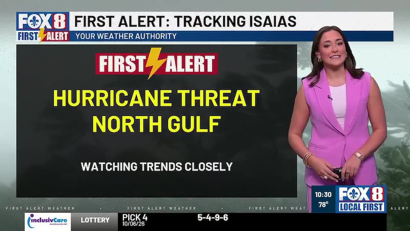
We must continue to monitor the latest progress with Isaias as this will be a close pass for our area.
See a spelling or grammar error in our story? Click Here to report it. Please include the headline.
Subscribe to the Fox 8 YouTube channel.
Copyright 2026 WVUE. All rights reserved.